
With the 2034 Winter Olympics on the horizon, this year’s dramatic snow swings offer a preview to the unpredictability planners may face. After weeks of record-low snow levels, a series of late-winter storms have helped to lift snowpack closer to Utah’s seasonal norms, bringing skiers and snowboarders back to the slopes.
Earlier this month, Utah’s Snow Water Equivalent (SWE) levels were sitting at a record low. Following snowfall on Feb. 18 and Feb. 24, statewide SWE levels climbed to roughly 7 inches, just 4 inches below historical average for late February.
While these latest series of storms may have narrowed that gap, hydrologists say these rapid swings illustrate a growing pattern of variability — complicating both seasonal forecasting and long-term planning as the state prepares for the Olympics eight years down the road.
That variability has already forced winter athletes to adjust. Athletic Director for Park City Ski and Snowboard, Tommy Eckfeldt said the season’s low snow levels have challenged their ability to start training without adequate snow at their venues.
“We’ve had to be flexible with scheduling and make more use of dryland and roller-ski sessions for our Nordic athletes while traveling more with our freestyle, alpine and snowboard athletes,” Eckfeldt said. “Conditions are still variable and we’re taking advantage of every opportunity.”
He added that events from other regions have increasingly moved to Utah venues as parts of the West continue to struggle with low snow.
Utah’s snow swings
Utah’s winters have long been marked by inconsistency. In February 2021, statewide SWE levels hovered around 9 inches. Two years later, February 2023 saw totals ascend to roughly 16 inches, nearly double the total of 2021.
“The 2022-2023 season set a record for the SWE in Utah,” meteorologist for the National Weather Service, Alex DeSmet said, “And that got the state essentially completely out of drought.”
Yet that dramatic swing also underscores a growing challenge: predicting snow levels and weather forecasts are becoming increasingly difficult.
Scott Handel, a meteorologist for the National Oceanic and Atmospheric Administration, said this year has been particularly challenging to forecast as the Pacific transitions out of La Niña conditions.
La Niña occurs when sea surface temperatures in the equatorial Pacific are cooler than average, while El Niño is marked by warmer-than-average water temperatures. These shifts can influence storm tracks across the western United States.
Historically, Utah has often seen higher precipitation during El Niño years. However, the 2022-2023 season brought record snowfall despite occurring during a La Niña phase.
Although 2026 is also a La Niña year, recent history suggests those patterns do not always produce predictable outcomes, even though forecasters often look to them to anticipate snowfall trends in Utah.
“Currently, the forecast for the March, April, May 2026 season suggests that Utah may experience a warmer and drier-than-average spring,” Handel said. “The forecast for the upcoming season is probabilistic, meaning it describes the level of confidence that conditions will vary from historical norms.”
However, La Niña and Utah’s geographical position are not the only factors that make this year particularly difficult to forecast.
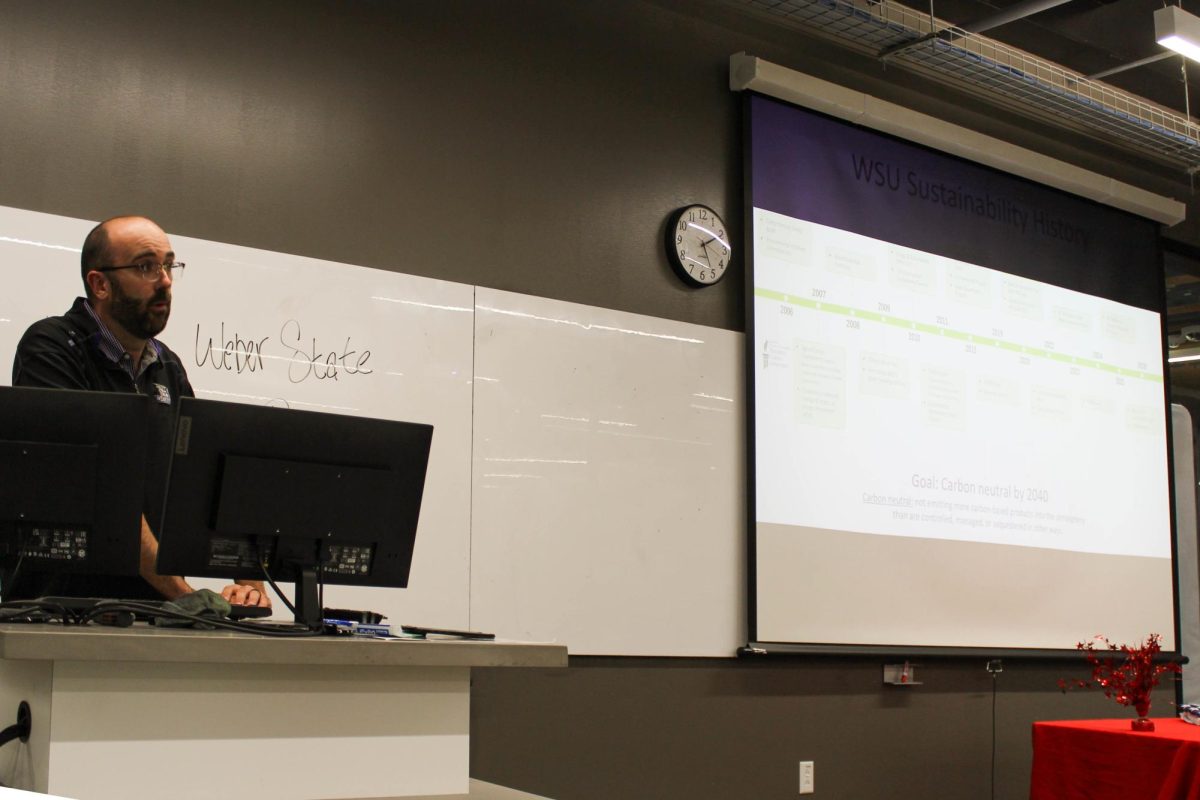
“We have a more than normal average amount of snow in the east part of the country,” Marek Matyjasik said, a professor in Weber State University’s geology department of Earth and Environmental Sciences centering around geology and water systems. “And it was caused by the fact that the jet stream that separates the polar circulation cell, from the mid-latitude circulation cell, is less stable.”
Jet streams are fast-moving ribbons of wind high in the atmosphere, acting like highways that steer storms across the globe. When temperature patterns shift, the jet stream can bend north or south. Those bends can help determine where storms travel, sometimes pulling cold Arctic air south and dropping heavy snow and water, while leaving other regions warmer and drier.
Matyjasik said this year, the jet steam dipped farther south over eastern North America, carrying colder arctic air with it and contributing to higher snowfall totals in many eastern states.
“So we are, this year, in a situation where most states in western part of the country are drier than normal right now,” he said.
He added that long-term climate trends further complicate forecasting. Matyjasik said polar regions are warming faster than areas near the equator, reducing the temperature contrast that helps stabilize atmospheric patterns. As that difference narrows, weather systems can become less predictable.
“So overall, we are moving towards a warmer climate, but we are also moving toward a less predictable climate,” Matyjasik said. “So, it was very hard to make predictions in the past; It will be even more difficult to make predictions in the future.”
2034 Winter Olympics
Looking ahead to the Olympics in eight years, Utah’s preparation will likely depend on a combination of natural snowfall, artificial production and evolving technology all shaped by a climate that is proving increasingly difficult to predict.
Matyjasik said he expects Olympic planners will consider snow-storage techniques, including insulated “snow blankets,” designed to preserve snow throughout summer months.
“At the end of the winter season, you accumulate as much snow as you can, you just make piles of snow, and then you cover them with synthetic blankets,” he said. “Which makes the snow piles able to survive to the beginning of the next snow season.”
Matyjasik added the drawback is planners must invest far in advance without knowing what next winter will bring.
While no official plans have been publicly announced, Matyjasik said he believes organizers are likely considering similar technology. “As we approach the end of the skiing season 2033, we don’t know what will be happening in November and December 2034.”
Another common tool Utah venues may forefront are the use of artificial snow, but even those features are limited in warmer-than-usual conditions.
“We have a very, very advanced snow making system, and that allows us to get this mountain open even without snow coming in, but making it in cold temperatures,” Snowbasin spokesperson Brooks Roe said. “Operationally, that was a big challenge for us early in the season. You know, in January we were seeing temperatures in the 50s. It’s like, that’s not normal. We can’t make snow in that.”
While long-term forecasting remains complex, future venues like Snowbasin resort, set to host downhill skiing for the 2034 Olympics, say they are prepared.
“First and foremost, I mean, we are ready,” Roe said. “This mountain was here long before we got here, this mountain hopefully will be here long after we’re here.”
Roe said the main priority now is updating facilities, improving runs and hosting events before the games arrive.
“Right now, we’re focusing on updating our mountain, getting kind of everything upgraded and then fixing little pockets that need to be fixed before the games come,” Roe said. “Other than that, the runs are there, the facilities are here, we’re ready to go.”
As Utah prepares to welcome the world in 2034, the questions may not be whether snow will fall, but whether it will fall when and where planners expect it.
Correction: An earlier version of this story incorrectly attributed a quotation from Scott Handel. It has been corrected.