Over the past few months the phrase “El Niño” has been thrown around a lot and if you’re still wondering what El Niño exactly is, don’t worry—you’re not alone.
You may have seen Chris Farley’s famous El Niño skit on Saturday Night Live, where he bellows, “I am El Niño. All other tropical storms must bow before El Niño. El Niño is Spanish for … the Niño.”
However, you may still be wondering, what is the Niño? El Niño is a major weather change in the Pacific. In order to better understand what El Niño is, it is important to first have a good understanding of regular weather patterns over the Pacific.
In normal years, there are trade winds that blow across the Pacific from South America to Indonesia. These winds cause warm water to pile up near Australia and Asia.
As all of the warm water is being pulled across the Pacific to the west, cool water from Antarctica is brought up near South America. To sum it up, warm water pools in the west and cold water pools in the east near the equator.
These different pockets of cold and warm water in the Pacific Ocean have a huge impact on the weather patterns around the world, causing warmer, wetter weather near Asia and colder weather near North and South America. This temperature shift is also strong enough to generate larger amounts of rainfall to travel across the Pacific and affect portions of Africa and Western Europe.
However, sometimes, for reasons yet unknown to scientists, these temperature extremes begin to shift due to weakening of the trade winds causing major changes in weather patterns around the world.
These fluctuations are part of a cycle known as the El Niño Southern Oscillation or commonly known as El Niño. It occurs every two to seven years.
El Niño begins when the trade winds weaken and less warm water is pulled into the west. This leaves the warm water to spread throughout the Pacific Ocean because warm water weighs less than cold water. With an increase of warm water across the Pacific Ocean, the trade winds become weak, creating more warm water.
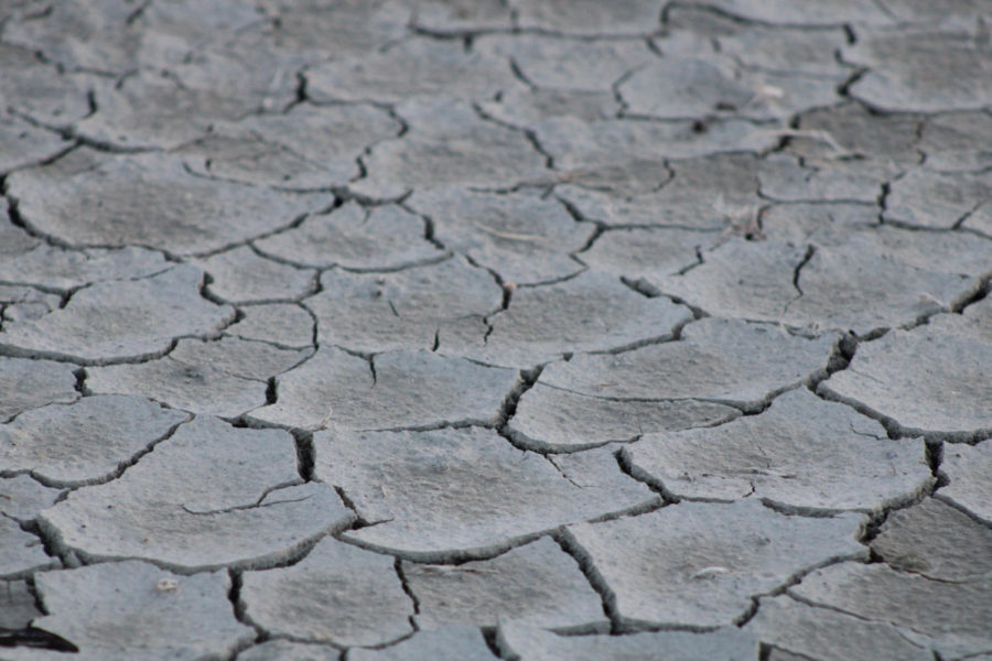
As cold water sinks and warm water spreads, major weather patterns around the Pacific Ocean and the world change. These changes cause drought in the east and storms in the west.
The warm water generates stronger storms in the Pacific, but lessens the strength of hurricanes in the Caribbean.
You may still be wondering how exactly this affects us in Utah. After all, we are two states and a long twelve-hour drive away from the Pacific. While Utah is farther away from the ocean than the coastal states, it is still impacted by El Niño.
One of the most notable changes from El Niño is warmer weather and higher levels of precipitation during winter. Just last year, Utah experienced warmer temperatures both in the summer and winter. Even during this past week we had wetter snowfall than average.
El Niño is more than a simple temperature change in seawater. El Niño made 2015 the hottest year on record and a similar spike can be seen all the way back in 1998, which was a record-breaking El Niño year.
The 1998 El Niño was credited with 23,000 deaths and over $35 billion in damage from crop loss, destroyed buildings and consequential repair.
El Niño has had a large impact around the world but has only been studied for the past 30 years. Scientists are still unsure of when it will strike and how bad it will be.
The 2015 and 2016 El Niño is predicted to be as strong as the 1998 but only time will tell. El Niño is truly the king of all tropical storms.

